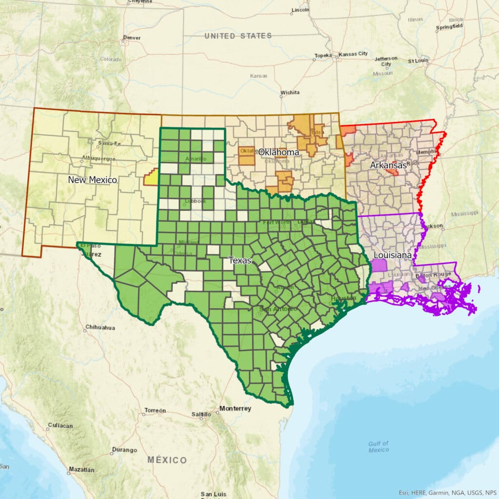


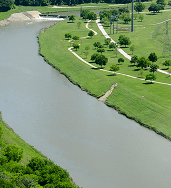
Aerial LiDAR for Tarrant Regional Water District
Ellis and Henderson Counties, Texas
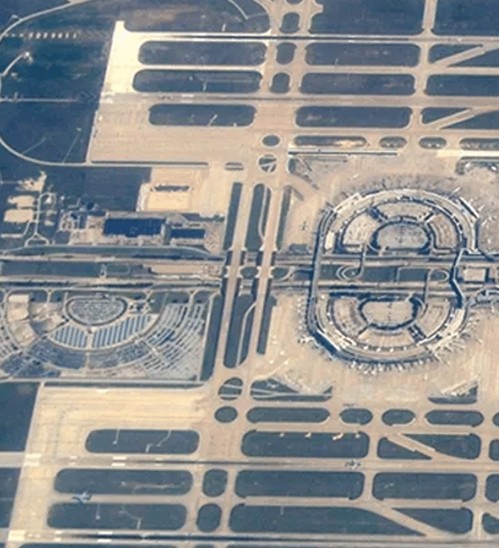
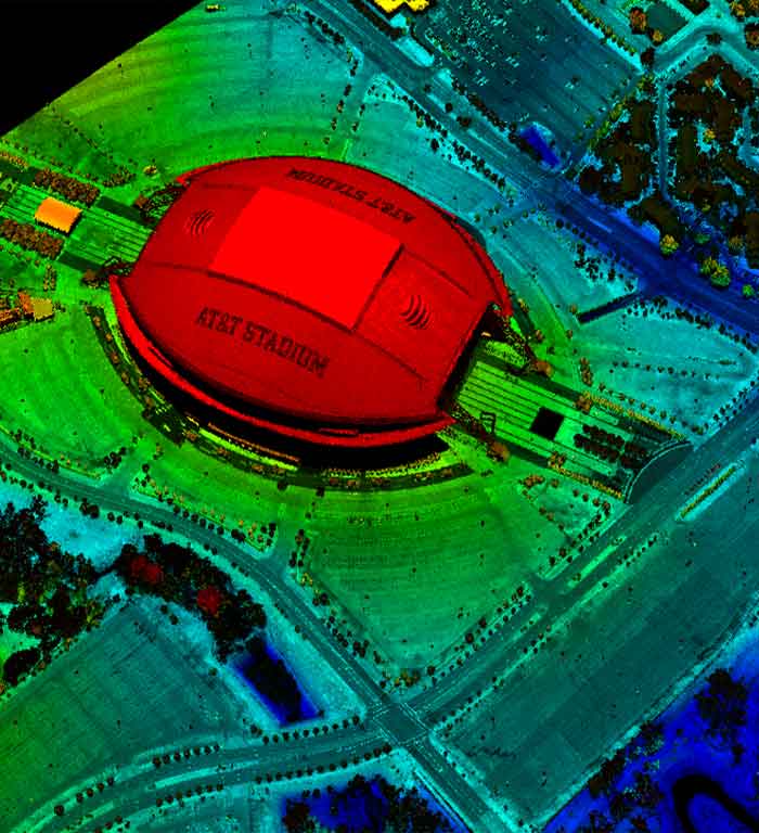
Terminal Development Program (TDP)
DFW Airport, Texas
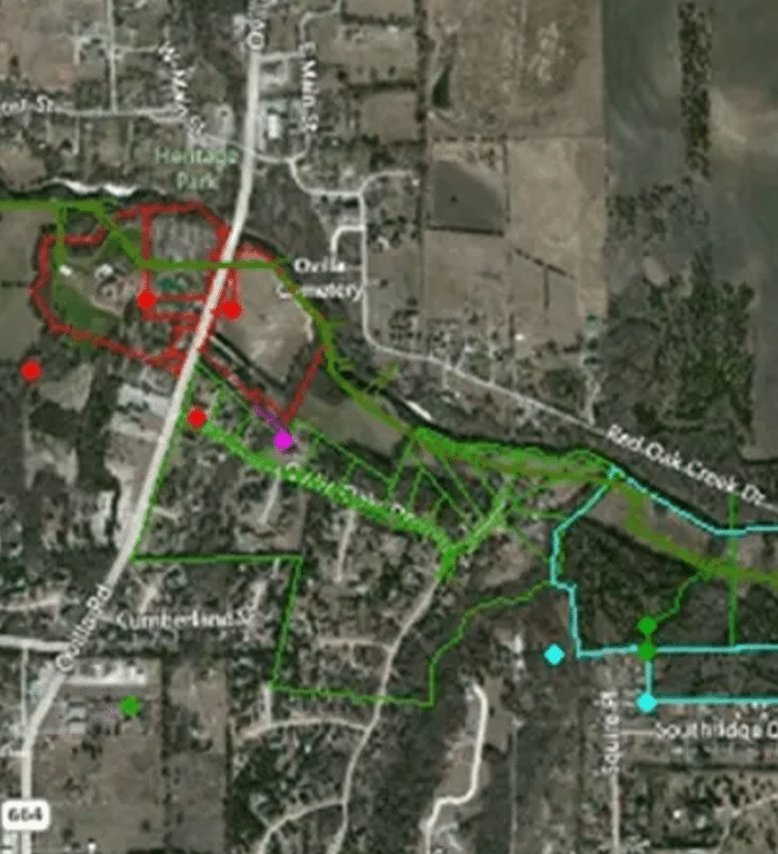
Red Oak Creek Interceptor, Relief Segment RO-3
Ovilla, Ellis County, Texas
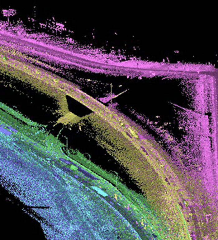
Mobile LiDAR of IH-35
Waxahachie, Texas
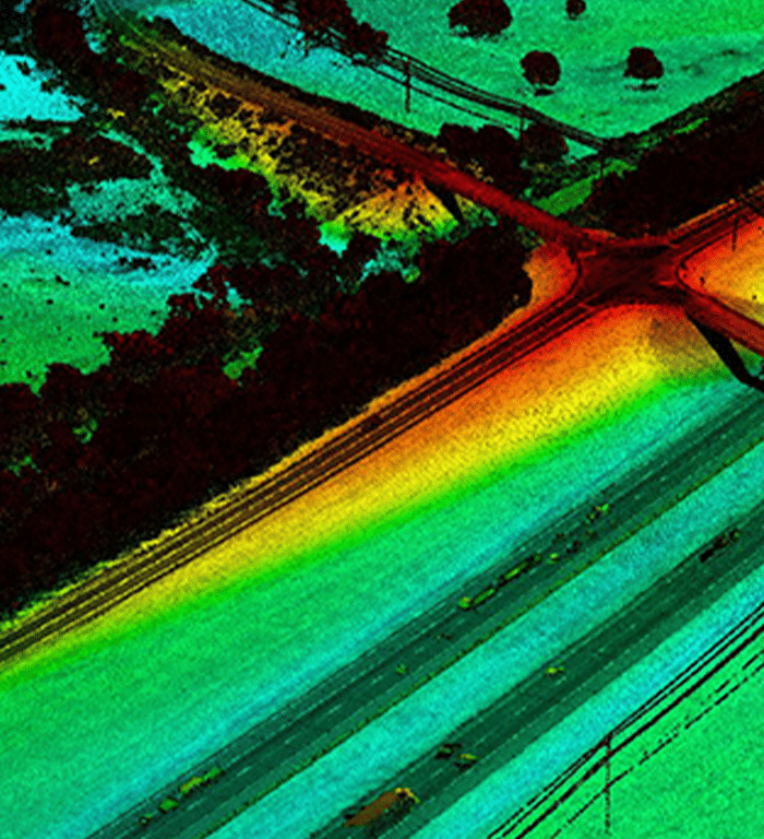
Aerial LiDAR Mapping of IH 10
Brazos and Colorado Counties, Texas
Central City Project | Water and Sanitary Sewer Relocations
Fort Worth, Texas
"Gorrondona & Associates has provided excellent survey data for the T and Trinity Railway Express for at least 14 years.
Their data-base is unrivalled, and their response to challenges is admirable."
Their data-base is unrivalled, and their response to challenges is admirable."

"Gorrondona & Associates has worked with the City of Fort Worth for the past 19 years. I am pleased to say that I find this firm to be very responsive and carry out their work in a very professional manner."

"They work with us on virtually an on-call basis and routinely meet our requirements for schedule and budget.
I anticipate their continued work with NTMWD for the foreseeable future."
I anticipate their continued work with NTMWD for the foreseeable future."
"Gorrondona & Associates have been able to provide a consistent and superior survey product during sometimes less than ideal situations with regard to time constraints and overall situational environments. They have adhered to specifications and requirements necessary for the needs of this municipality…"

"This consultant has always gone above and beyond the call of duty to make sure that TxDOT was satisfied with its deliverables. Project manager (Bud Hodgin) is very easy to work with and is very professional when it comes to conducting business with us."